
Products
Tools for accurate, connected fieldwork.
From the first AB line to the completed job record, AccuAg keeps machine setup and field activity together.
GPS guidance
Clear guidance for real field conditions.
Set an AB line, select the implement width and keep each pass visible while AccuAg records coverage and GNSS quality.
- AB-line and parallel-pass guidance
- Coverage recording and nearby-pass display
- External GNSS and RTK receiver support
- Saved field boundaries and markers

Machine calibration
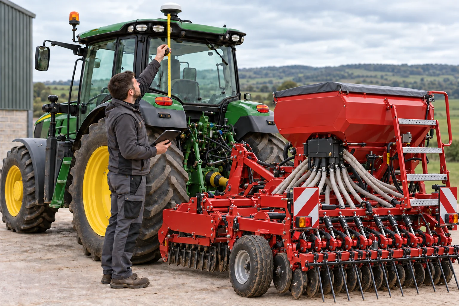
Accuracy starts with where the machine works.
AccuAg uses saved vehicle and implement geometry to translate the antenna position toward the implement’s working point.
Final field accuracy also depends on the receiver, correction source, installation, terrain and operating conditions.
Auto-steer · In development
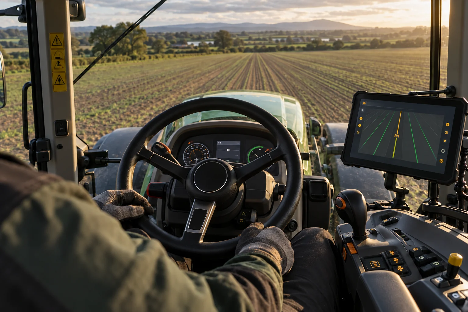
From guidance on screen to steering assistance.
The roadmap extends AccuAg guidance paths toward compatible external steering hardware with clear engagement status and manual override.
- Defined steering-controller interfaces
- Visible engagement and GNSS status
- Machine-specific validation before release
Field and machinery records
A useful record after the engine stops.
Keep the information that explains what happened, not just a line on a map.
Field memory
Boundaries, headlands, gates, drains, poles and permanent markers.
Job timeline
Starts, pauses, fills, notes, warnings and setup changes in order.
Machinery setup
Vehicles, implements, widths and calibrations attached to each job.
Proof of work
Completed area, working time and job details ready to share.